[AZ-Observing] Tonight's Scopin' Weather
- From: Tom Polakis <tpolakis@xxxxxxx>
- To: AZ-Observing@xxxxxxxxxxxxx
- Date: Sat, 6 Oct 2007 16:23:02 -0400
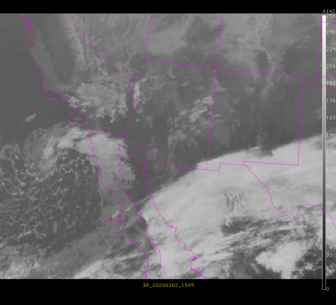
I just noticed some high clouds hugging the southern horizon.  This is the
northeastern tip of a pretty significant amount of subtropical cirrus that
shows up well on the IR image at the UofA site.

http://www.atmo.arizona.edu/gifs/IRAZ.GIF

Animating this image shows a battle between that motion from the southwest and
a trough that will be responsible for the northwest wind tonight.  I think the
trough is going to win, so it should be clear.  Clear Sky Clock is not well
initialized, and even the transparency forecast map does not show this stuff
arriving until tomorrow.

The 10" and TV101 are already packed, so we're heading to Saddle Mountain.
It's going to be in the upper 40's.  Brrrr.

Tom
--
See message header for info on list archives or unsubscribing, and please
send personal replies to the author, not the list.
Other related posts: